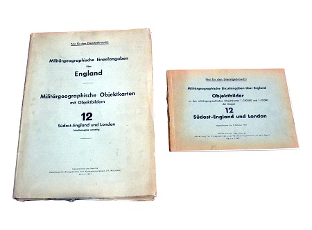
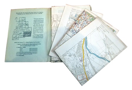
German invasion maps of the south-east of England and specifically the towns of Dover, Folkestone, Brighton and Reading. The town maps are highly detailed and clearly indicate critical military and civilian infrastructure.
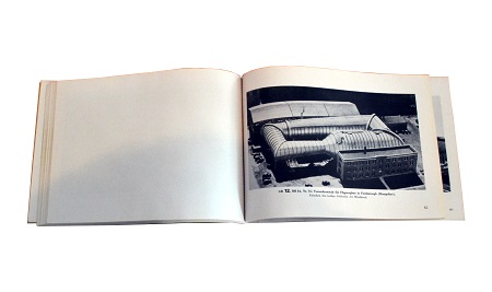
The accompanying booklet features photographs of ports, factories, power stations railway stations, bridges / junctions and road bridges.


The accompanying booklet features photographs of ports, factories, power stations railway stations, bridges / junctions and road bridges.

The documents range in date from August 1940 to August 1941.


